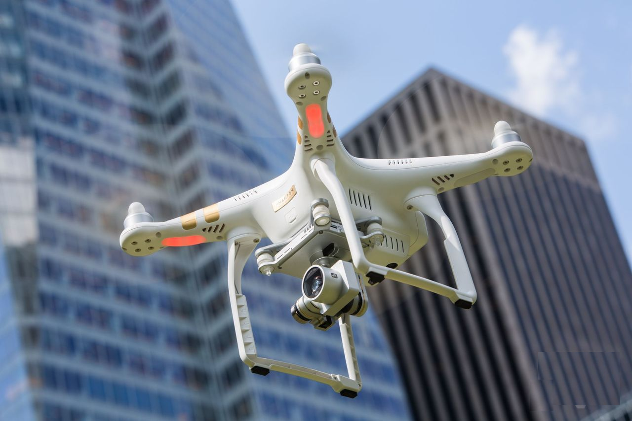
DJI has opened up its GEO flexible geofencing system to a public beta, air traffic control for drones that keeps them out of sensitive or dangerous areas. GEO, or Geospatial Environment Online, is set to replace DJI’s existing, fixed database of no-fly areas with one that can be updated in real-time.
That way, emergency services will be able to designate certain zones as temporarily unsuitable for drone flights, such as during forest fires or VIP travel.
On the flip side, pilots actually eligible to fly in currently restricted areas will now have a way to unlock that airspace. DJI’s system will permit self-authorization and temporary unlocking, based on a credit or debit card, or a cellphone number.
…
Read full post here:
https://www.slashgear.com/dji-opens-beta-of-geo-no-fly-flexible-geofencing-31420681/